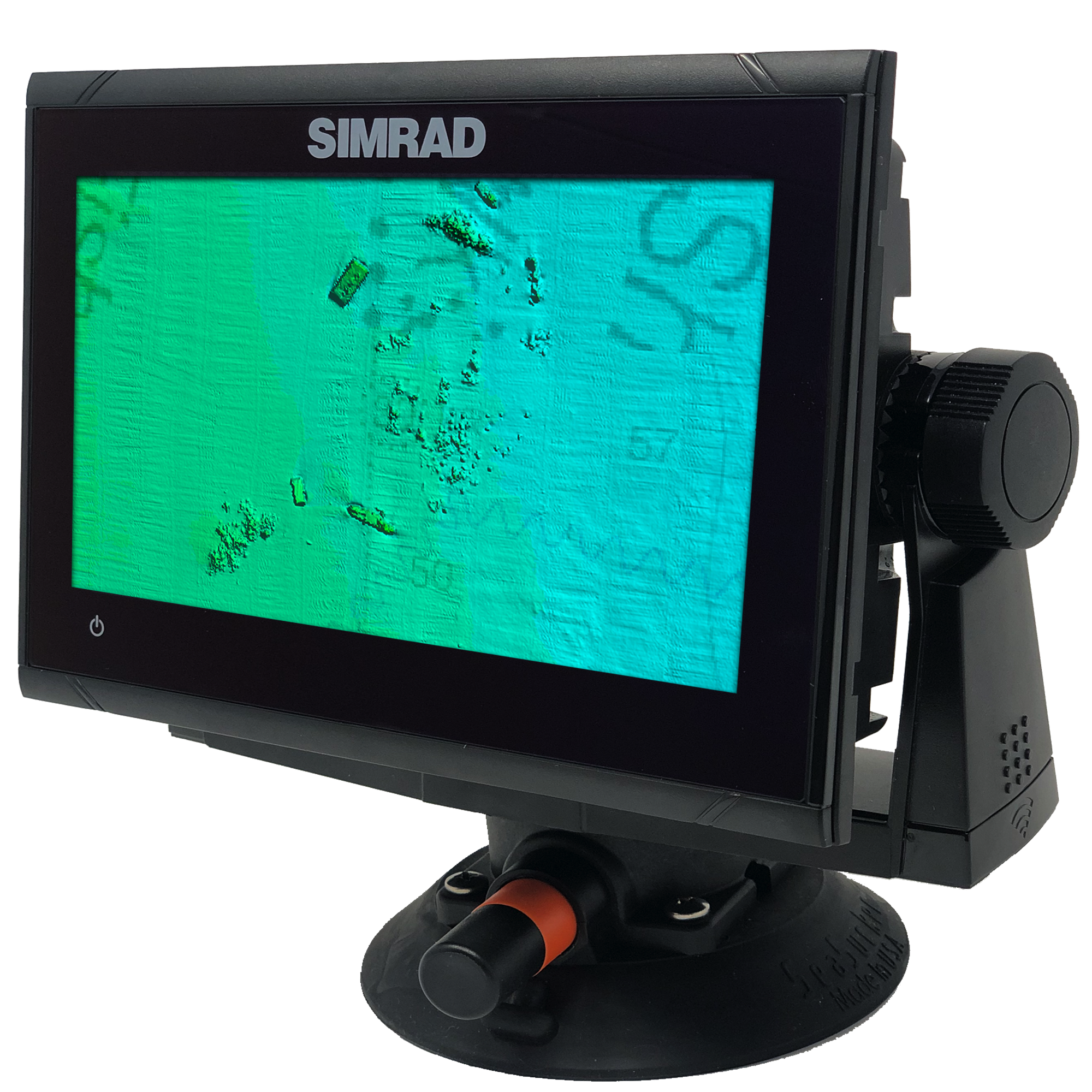
South West Florida V2 3D Relief Shading CMOR Card
South West Florida V2 3D Relief Shading CMOR Card
The South West Florida V2 3D Relief Shading CMOR Mapping Card now includes:
Over 500 square miles around the Marquesas with depths ranging from 1' in the Quicksand's to 600' in the deep holes south of the Marquesas reef.
4,076 square miles in the Florida Canyons with depths ranging from 1,000' in red to 11,200' in purple.
300 square miles to the East, West, and North of the Dry Tortugas with depths ranging from 35' in red to 890' in purple.
150 square miles covering Pulley Ridge and the surrounding grounds to the west / southwest from 130’ to 600’
Untouched muddy bottom west of the Dry Tortugas for tilefish out in 490', deeper structure in 850' that holds queen snapper and deep water grouper, and shallow coral heads and ledges for lobster and monster hogfish!
Full shallow reef coverage from 10’ to 35’ south of Big Pine Key extending past the Marquesas. Great for spearfishing and lobstering!
Extensive coverage of gulf wrecks and dumping grounds north of Key West and the Marquesas ranging in depth from 15’ to 60’.
Nearshore Coverage of live bottom and springs out of Naples and Marco island.
All CMOR Cards with the exception of Furuno are provided on Micro SD cards with a standard SD adapter included.
Furuno customers: Instead of a physical card, you will receive an unlock code to access CMOR imagery on your device. Your NavNet system ID is required in order to generate the unlock code. Also, please note that South West Florida V2 is not yet available for Furuno is it is in the processing stage.
Coverage Map
Compatibility Solutions
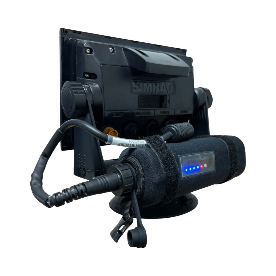
Our CMOR Map Paks include everything you need to use CMOR Cards on any vessel: a Simrad or Raymarine touchscreen chartplotter with built-in antenna, a SeaSucker suction mount, a Marinco 12V plug, a 110V to 12V power adapter, and a custom-fit waterproof hard case.
For Garmin vessels, our Simrad NSO Processor Kit unlocks full touch integration of CMOR Mapping on your GPSMap 8400 or 8600-series unit.
In Stock
FREE delivery next business day within Florida if ordered by 3 p.m. Eastern time. Ships FREE today (details) if ordered in the next:
Coverage Details
Covered areas include:
434 square miles around the Marquesas with depths ranging from 1' in the Quicksands to 330' in the deep holes south of the Marquesas Rock
4,076 square miles in the Florida Canyons area with depths ranging from 1,000' in red to 11,200' in purple
250 square miles on the west side of Dry Tortugas with depths ranging from 35' in red to 890' in purple
150 square miles covering Pulley Ridge and the surrounding grounds to the west from 130’ to 500’.
The Florida Canyons running up to the shallower areas and the nice structure on the flat areas in 2,000'.
Nice muddy bottom west of the Dry Tortugas for tilefish out in 490', deeper structure in 850' that holds queen snapper and deep water grouper, and shallow coral heads and ledges for lobster and monster hogfish!
Please note that there are several areas in the Tortugas where anchoring, spearfishing and entering are prohibited so check the regulations prior to arrival.
NOAA Charts 11439 and 11013 are included in the background.
CMOR Cards are compatible with the following devices:
-
NSS
NSS evo2
NSS evo3
NSS evo3 S
NSE
NSO
NSO evo2
NSO evo3
NSO evo3 S
GO XSE
GO XSR
NSX
NSX ULTRAWIDE
-
HDS PRO series
Elite FS series
HDS LIVE series
HDS Gen1 series
HDS Gen2 series (both keypad and touchscreen)
HDS Gen3 series
HDS Carbon
Elite HDI series
Elite CHIRP series
Elite Ti series
-
502
702
703
903
-
CMOR cards are compatible with all units capable of running the Lighthouse II, Lighthouse 3, Lighthouse 4 and Sport interfaces. In order to support CMOR Mapping, units must have at least v17 software installed. Units include:
Axiom Series
Axiom Pro
Axiom XL
AXIOM 2 PRO RVM
AXIOM 2 PRO S
AXIOM 2 XL
Hybrid Touch
aSeries
cSeries
eSeries
eS Series
gS Series
Dragonfly Series
Element S
ELEMENT HV
-
CMOR imagery is compatible with Furuno NavNet TZtouch2 and TZtouch3 multifunction displays (MFDs) with software version 6.23 or above.CMOR imagery for Furuno is not sold as a physical card. Instead, it is preloaded on your MFD and accessed via an unlock code. After you purchase, you'll need to provide your system ID to CMOR vie email. You will then receive a unique code to unlock the imagery on your MFD.NavNet TZtouch2NavNet TZtouch3TZT2 BlackboxTZT3 BlackboxTZTL12F
TZT14
TZTL15F
TZT9F
TZT12F
TZT16F
TZT19F
TZT22X
TZT24X
-
Full touch integration of CMOR Mapping is possible on Garmin GPSMap 8400, 8600 and 9000 series units with the use of our Simrad NSO EVO2 Processor Kit.
-
Zeus
Zeus Touch
Zeus2
Zeus3
Vulcan


