NEX GEN - East Gulf of America V4 COMPLETE MARINE VIEW
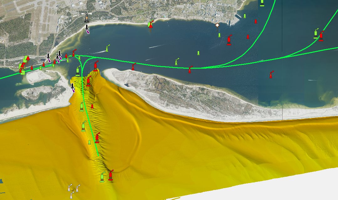
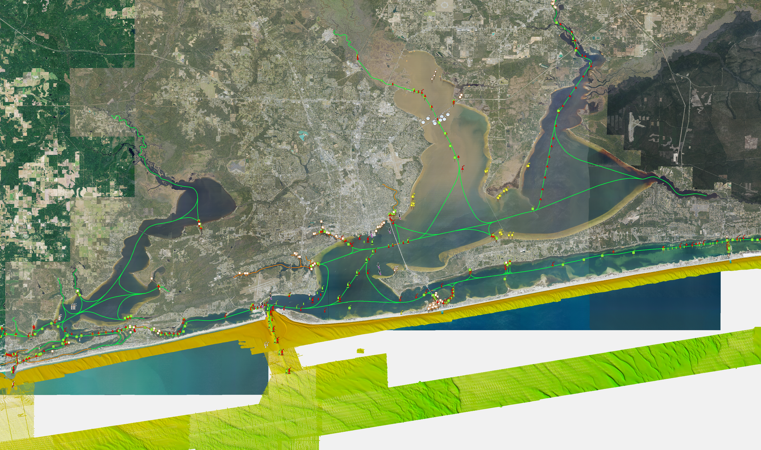



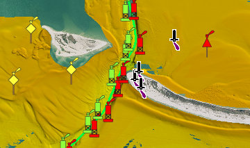
NEX GEN - East Gulf of America V4 COMPLETE MARINE VIEW
Introducing East Gulf of America V4 NEX GEN — our newest generation of CMOR Mapping for the East Gulf.
V4 combines CMOR’s high-resolution offshore mapping with our latest NEX GEN features, giving anglers and divers more information on the water and an entirely new way to explore the East Gulf.
What’s New with V4 NEX GEN
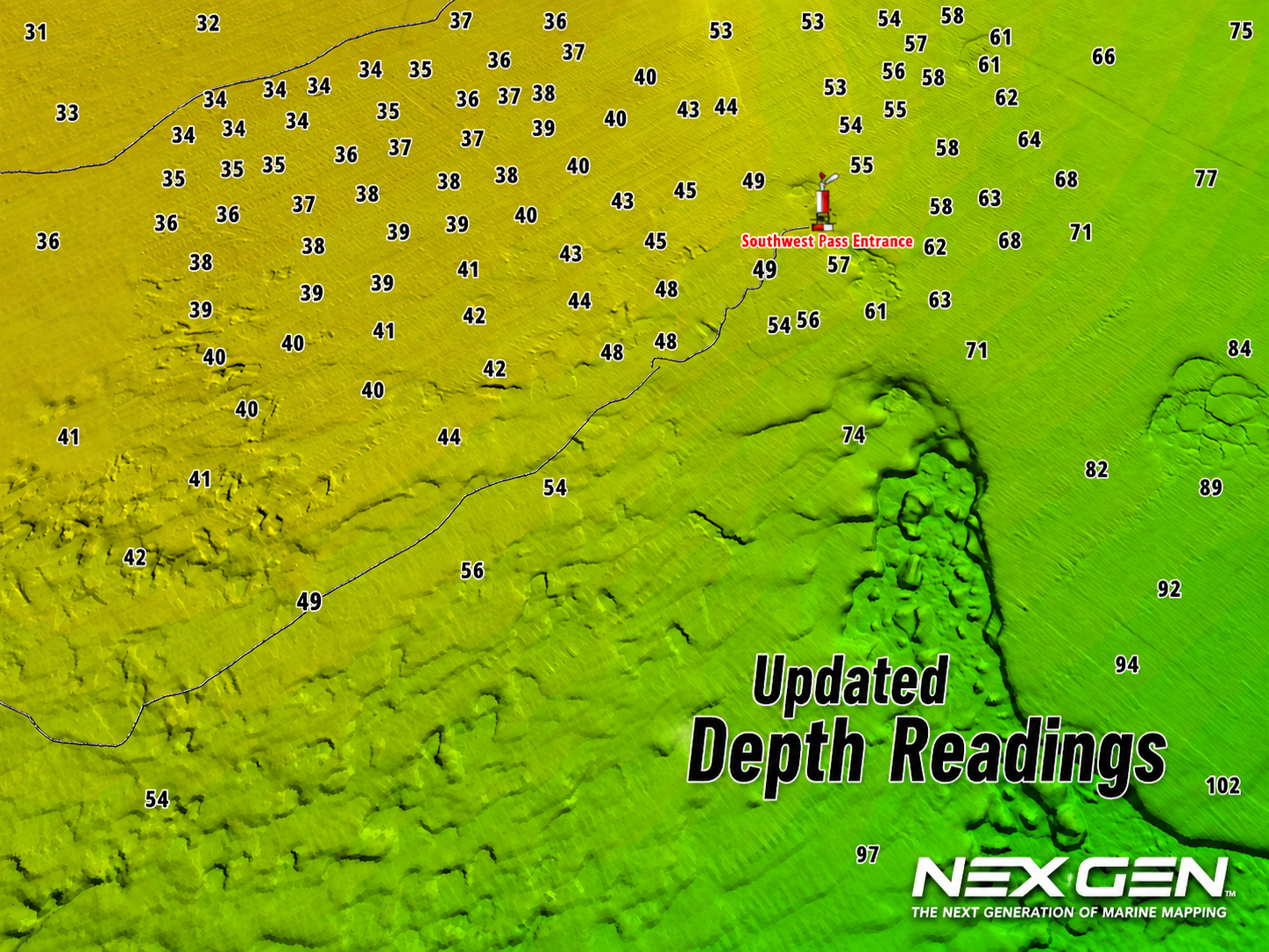
Ultra High-Resolution Bathymetry
Updated CMOR Mapping Data
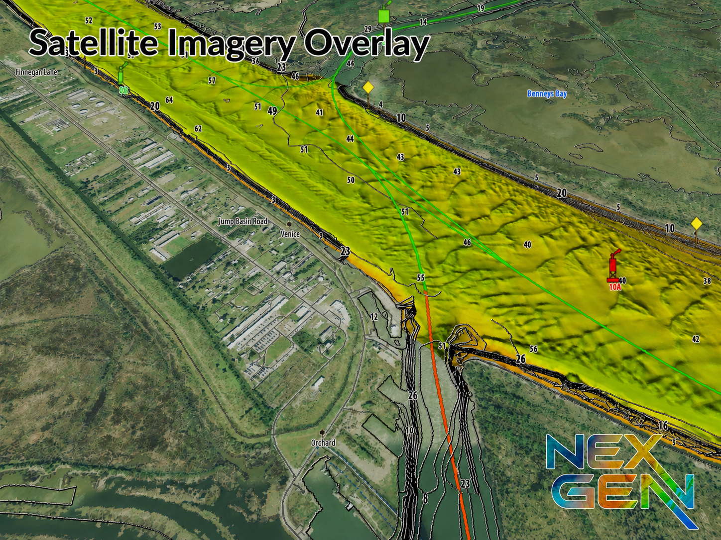
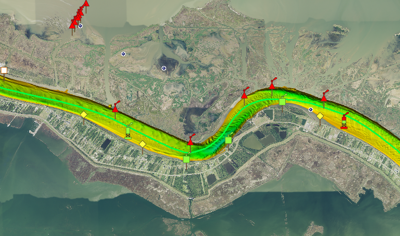
2025 Satellite Imagery
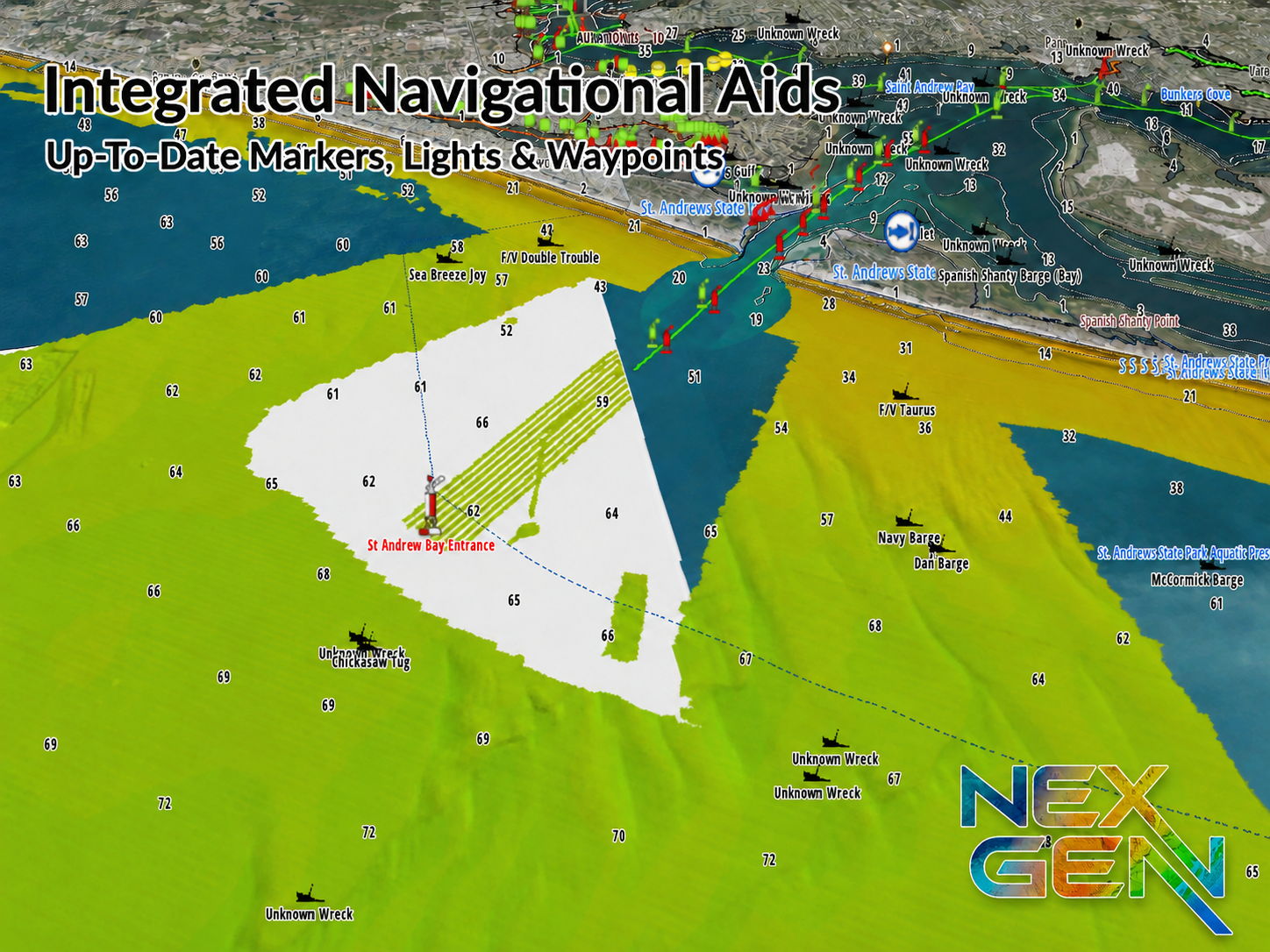
Navigation Aids & Icons
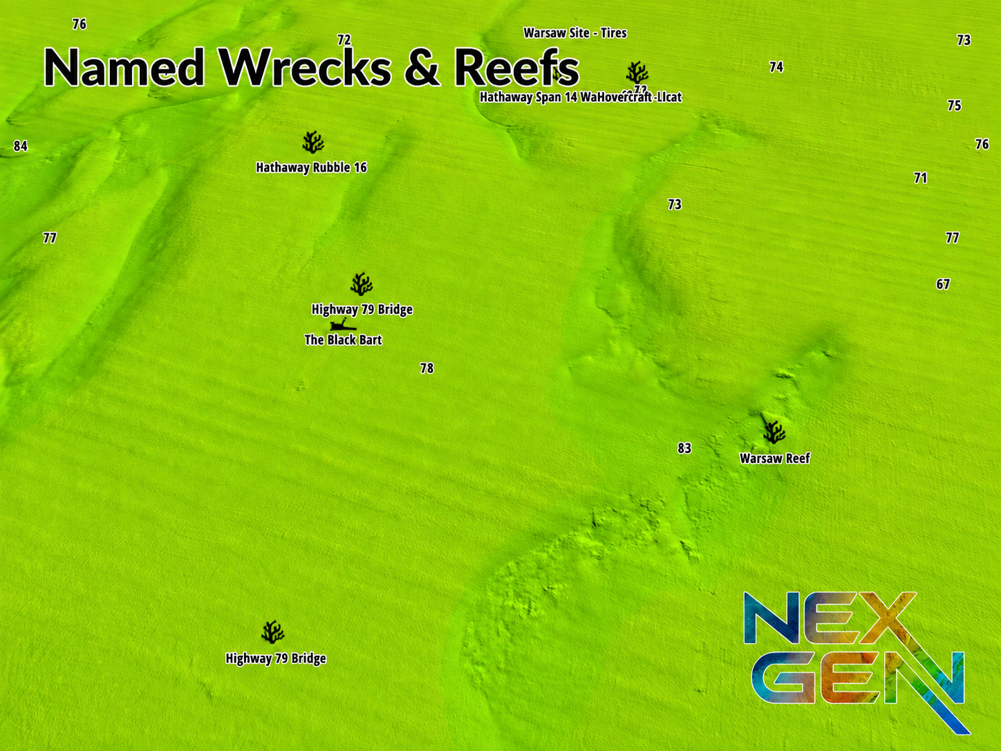
Named Wrecks & Reefs
Bridges & Marinas
Toggle Between CMOR Mapping & Satellite Imagery
Enhanced NEX GEN Interface & Features
Whether you’re searching for structure, planning your next fishing trip, or exploring new dive sites, V4 gives you more information before you ever drop a line or hit the water.
SEE IT. DIVE IT. FISH IT.
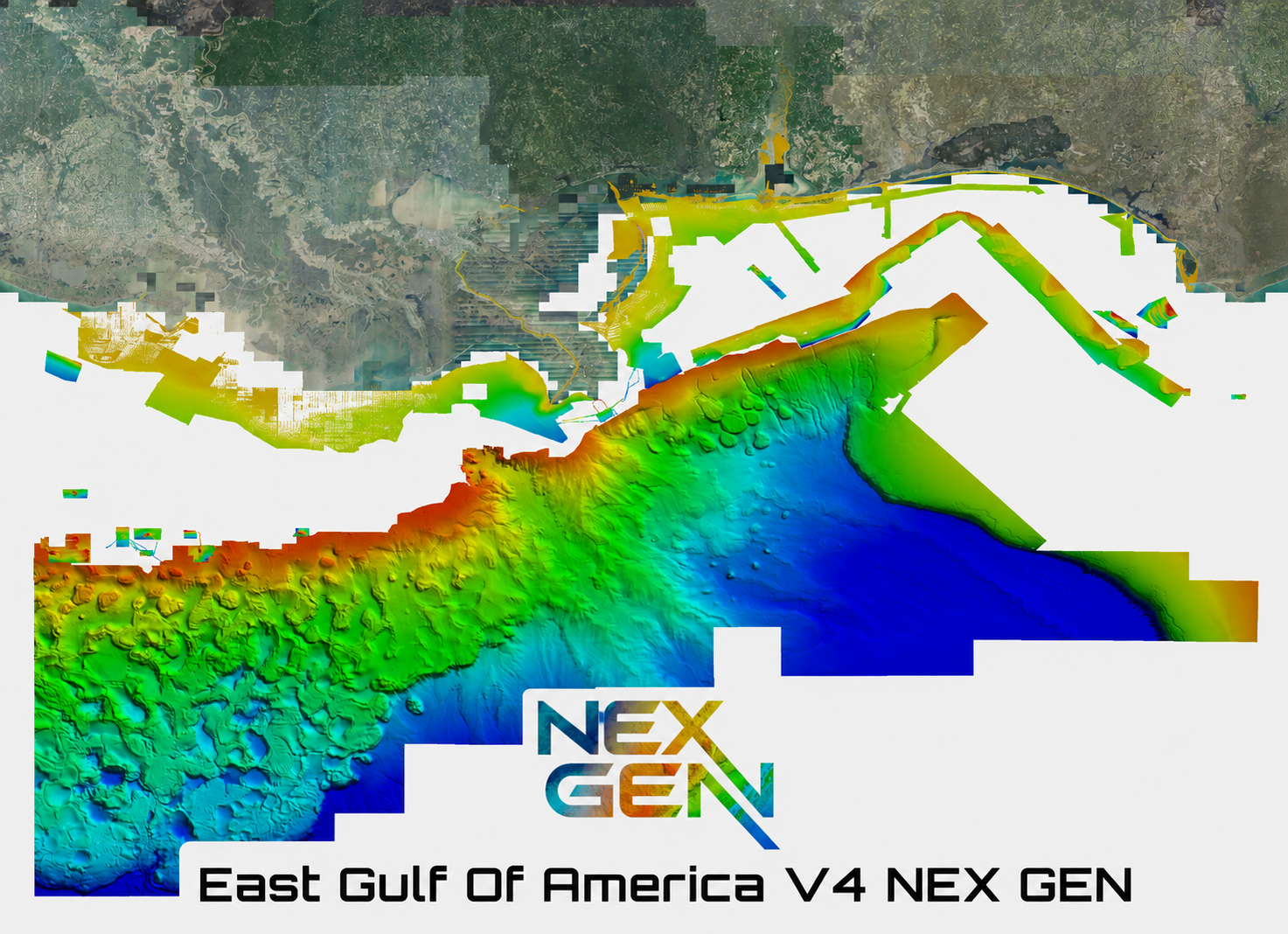
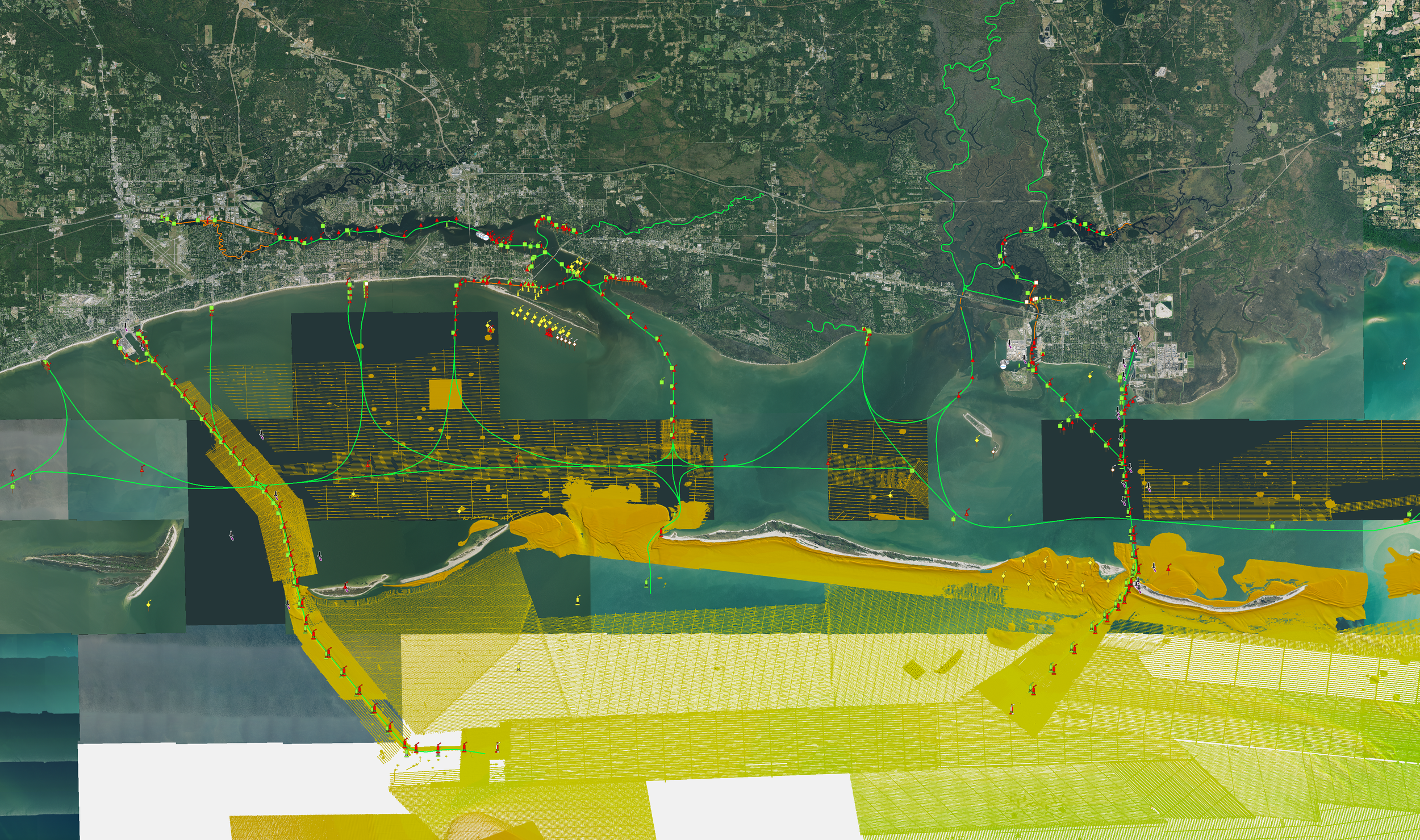
The East Gulf of America V4 3D Relief Shading CMOR Card includes a massive nearshore and deep drop addition throughout the entire map, a highly detailed NOAA pipeline map with platform indicators, new inlet and shoreline coverage, wrecks, chicken coops, sound / bay coverage, Mississippi River and more! The East Gulf of Mexico v3 3D Relief Shading CMOR Card offers unbeatable coverage and resolution for targeting everything from nearshore snapper to daytime swordfish.
All CMOR Cards with the exception of Furuno are provided on Micro SD cards with a standard SD adapter included.
Furuno customers: Instead of a physical card, you will receive an unlock code to access CMOR imagery on your device. Your NavNet system ID is required in order to generate the unlock code.
Furuno Customers: Nex Gen is not yet available for Furuno as it is in the processing stage.
Raymarine Customers: Nex Gen is not yet available as it is in the processing stage.
Simrad NSX / NSS4 Customers: Nex Gen is not yet available as it is in the processing stage.
Coverage Map
Compatibility Solutions
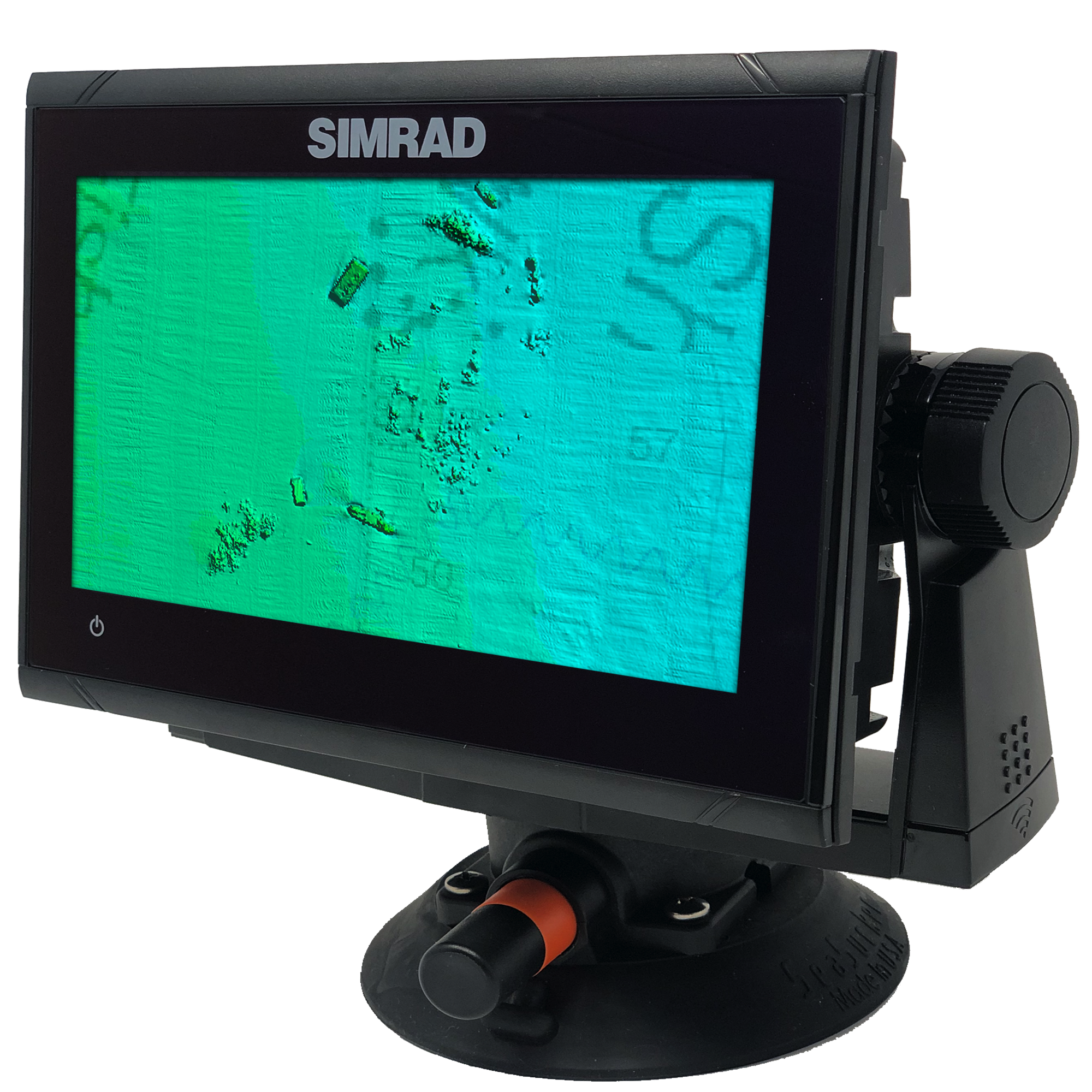
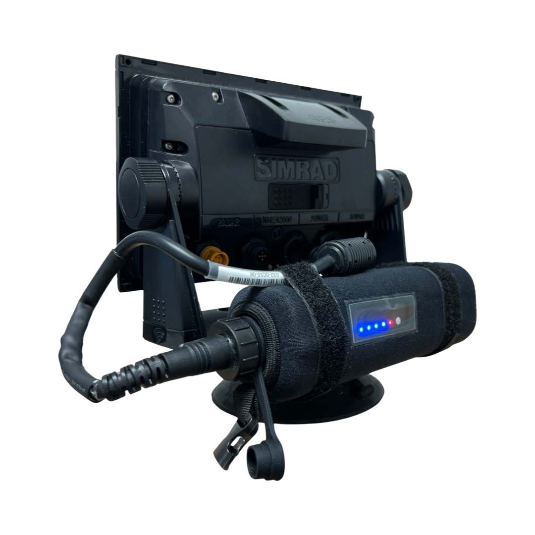
Our CMOR Map Paks include everything you need to use CMOR Cards on any vessel: a Simrad or Raymarine touchscreen chartplotter with built-in antenna, a SeaSucker suction mount, a Marinco 12V plug, a 110V to 12V power adapter, and a custom-fit waterproof hard case.
For Garmin vessels, our Simrad NSO Processor Kit unlocks full touch integration of CMOR Mapping on your GPSMap 8400 or 8600-series unit.

In Stock
FREE delivery next business day within Florida if ordered by 3 p.m. Eastern time. Ships FREE today (details) if ordered in the next:
Coverage Details
Popular spots include:
Offshore Grand Isle
West Delta
Offshore of SouthWest Pass
East of North Pass Mississippi River
Panama City, FL Offshore
Shelf Break from the Pinnacles due south of Pascagoula, up around and back down to the Twin Ridges just south of Madison Swanson.
DeSoto Canyon and the SPUR
Deep water from 500ft- 12,000ft throughout the East Gulf of Mexico
Tiger Shoal
Mississippi River
Lake Borgne
Chandeleur Sound
Mississippi Sound
Mobile Bay Middle Ground
Santa Rosa Sound
St. Joseph Bay
Mexico Beach
Apalachicola offshore
The Spur
NOAA charts are included in the background
All CMOR Cards with the exception of Furuno are provided on Micro SD cards with a standard SD adapter included.
Furuno customers: Please note that CMOR imagery for Furuno is not sold as a physical card. You will receive an unlock code to access the imagery on your device. We will need your NavNet system ID in order to generate the unlock code.
CMOR Cards are compatible with the following devices:
-
NSS
NSS evo2
NSS evo3
NSS evo3 S
NSE
NSO
NSO evo2
NSO evo3
NSO evo3 S
GO XSE
GO XSR
NSX
NSX ULTRAWIDE
-
HDS PRO series
Elite FS series
HDS LIVE series
HDS Gen1 series
HDS Gen2 series (both keypad and touchscreen)
HDS Gen3 series
HDS Carbon
Elite HDI series
Elite CHIRP series
Elite Ti series
-
502
702
703
903
-
CMOR cards are compatible with all units capable of running the Lighthouse II, Lighthouse 3, Lighthouse 4 and Sport interfaces. In order to support CMOR Mapping, units must have at least v17 software installed. Units include:
Axiom Series
Axiom Pro
Axiom XL
AXIOM 2 PRO RVM
AXIOM 2 PRO S
AXIOM 2 XL
Hybrid Touch
aSeries
cSeries
eSeries
eS Series
gS Series
Dragonfly Series
Element S
ELEMENT HV
-
CMOR imagery is compatible with Furuno NavNet TZtouch2 and TZtouch3 multifunction displays (MFDs) with software version 6.23 or above.
Link to update and download chart data - TIMEZERO EGOMV3 Download
CMOR imagery for Furuno is not sold as a physical card. Instead, it is preloaded on your MFD and accessed via an unlock code. After you purchase, you'll need to provide your system ID to CMOR vie email. You will then receive a unique code to unlock the imagery on your MFD.
NavNet TZtouch2
NavNet TZtouch3
TZT2 Blackbox
TZT3 Blackbox
TZTL12F
TZT14
TZTL15F
TZT9F
TZT12F
TZT16F
TZT19F
TZT22X
TZT24X
-
Full touch integration of CMOR Mapping is possible on Garmin GPSMap 8400, 8600 and 9000 series units with the use of our Simrad NSO EVO2 Processor Kit.
-
Zeus
Zeus Touch
Zeus2
Zeus3
Vulcan





The CMOR Map Pak is the perfect solution for Mobile Captains, Fishing Guides, Tenders, Vessels without advanced electronics, and Garmin users who have been asking for CMOR Mapping products, and more! This Simrad Go 7 XSR has all of the great Simrad features such as 3D mode and is radar / sonar capable. CMOR Mapping has constructed a simple but rugged solution that mounts via Seasucker to any vessel and plugs into your boats 12v cigarette lighter outlet. The CMOR Map Pak easily allows you to setup and remove this GPS chart plotter from your boat in under 1 minute. Whether you are powered up at home with the included power adapter, or planning the trip from the dock - this versatile GPS unit allows you to explore CMOR Charts like no other!
The CMOR Map Pak contains the following:
Simrad GO7 touch screen 7'' Chart Plotter
Built in GPS antenna
Radar / Sonar capable
NMEA2000 to share waypoints to other chart plotters
SeaSucker suction mount
Marinco Marine 12v plug with built in fuse
Custom fit waterproof hard case
110v to 12v power adapter
CMOR mapping cards are sold separately.