
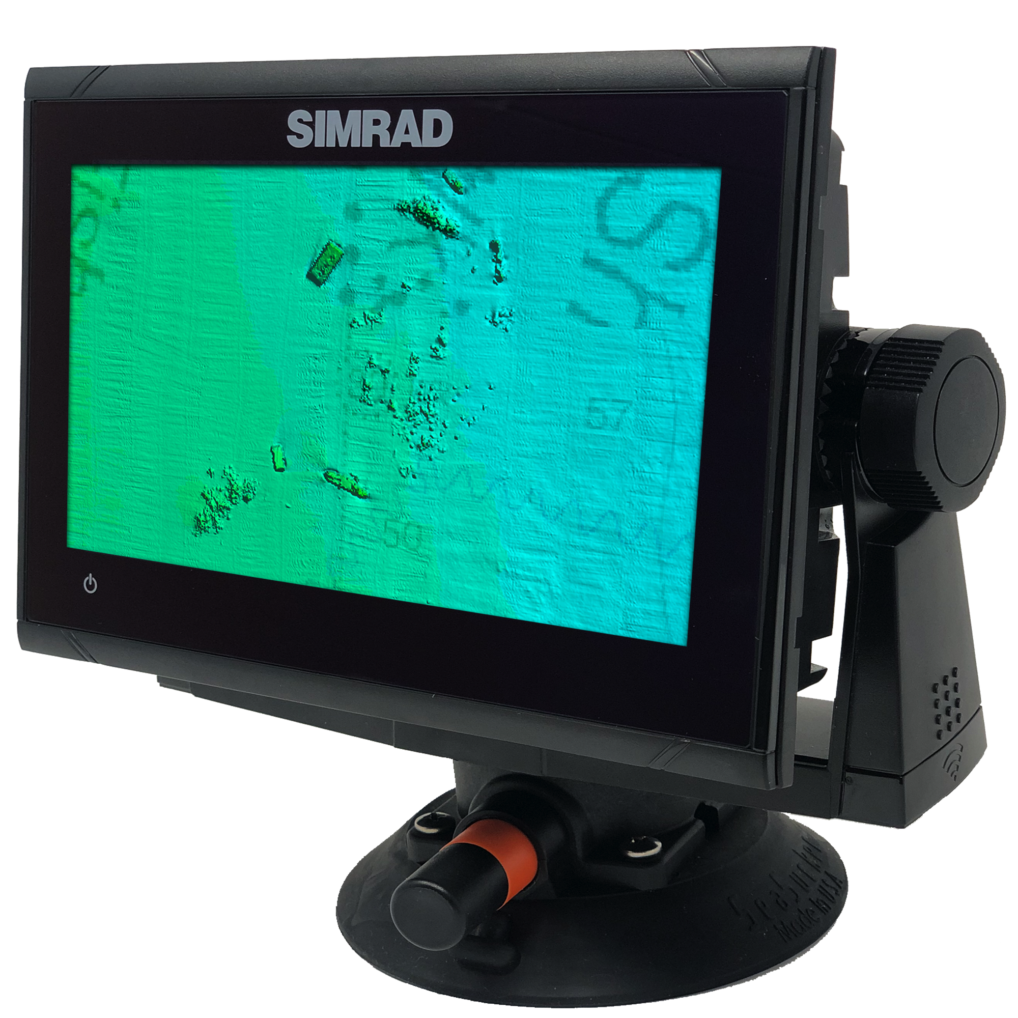
Carolinas V2 3D Relief Shading CMOR Card


Carolinas V2 3D Relief Shading CMOR Card
The Carolinas V2 3D Relief Shading CMOR Card (Previously Georgetown / Cape Lookout) covers some of the best bottom fishing, king fishing and diving locations inshore and offshore from Brunswick, GA to Chesapeake Bay. This card also includes high resolution data in Onslow Bay, centered around the Frying Pan Tower.
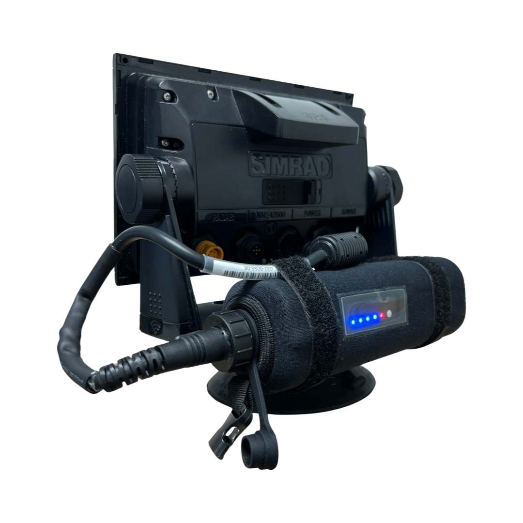
All CMOR Cards with the exception of Furuno are provided on Micro SD cards with a standard SD adapter included.
Furuno customers: Instead of a physical card, you will receive an unlock code to access CMOR imagery on your device. Your NavNet system ID is required in order to generate the unlock code.
Coverage Map
Video Walkthrough
Compatibility Solutions
Our CMOR Map Paks include everything you need to use CMOR Cards on any vessel: a Simrad or Raymarine touchscreen chartplotter with built-in antenna, a SeaSucker suction mount, a Marinco 12V plug, a 110V to 12V power adapter, and a custom-fit waterproof hard case.
For Garmin vessels, our Simrad NSO Processor Kit unlocks full touch integration of CMOR Mapping on your GPSMap 8400 or 8600-series unit.


In Stock
FREE delivery next business day within Florida if ordered by 3 p.m. Eastern time. Ships FREE today (details) if ordered in the next:
Coverage Details
Most areas covered on the Georgetown - Cape Lookout CMOR Card range from 50’ to 150’ with a few areas extending to 300’ on the ledge.
The data from Frying Pan Tower to the west toward Georgetown, SC is in continuous blocks. There are several wrecks and some astonishing natural features surrounding the Frying Pan Tower.
The data from Frying Pan towards Cape Lookout consist of numerous small areas containing wrecks, ledges, and random small natural bottom features that tend to hold some of the largest concentrations of fish. These spots are traditionally missed due their size, but are easily targeted with this CMOR Card.
Featured areas include:
New shipwrecks and natural bottom (20nm off Hilton Head, SC)
Natural bottom and rocks (7nm SE of Tybee Island, GA)
Isolated bottom and reefs (60nm SE of Charleston, SC)
Blanket nearshore coverage off Cape Fear, NC
Uncovered new ledges and reefs NE of Frying Pan Shoal
Expanded coverage of Frying Pan Shoal
New isolated data sets (50nm E of Cape Fear, NC)
Various artificial reefs and wrecks in Onslow Bay
New deep drop and sword fishing data (40nm from Beaufort Inlet)
Massive expansions offshore Cape Hatteras, NC
Blanket coverage starting 5nm out of Rudee Inlet, VA
100 Fathom Curve (57nm ESE of Georgetown SC)
Charleston Bump and many surrounding areas (swordfish mecca)
Georgetown Hole (47nm SSE Georgetown SC)
100 / 400 area (59nm SE Little River Inlet, SC)
Winyah Scarp (43nm SE Georgetown SC)
River Ledge 75ft depth (18.8nm SE Charleston SC)
Edisto Banks (50nm SE Edisto Island, SC)
Southern Edisto Banks (8nm SW of Edisto Banks)
The “DELI” (63nm SE of Hilton Head Island)
NOAA Charts 11520, 11536, 11531, 11539, 11543, and 11544 are included in the background.
CMOR Cards are compatible with the following devices:
-
NSS
NSS evo2
NSS evo3
NSS evo3 S
NSE
NSO
NSO evo2
NSO evo3
NSO evo3 S
GO XSE
GO XSR
NSX
NSX ULTRAWIDE
-
HDS PRO series
Elite FS series
HDS LIVE series
HDS Gen1 series
HDS Gen2 series (both keypad and touchscreen)
HDS Gen3 series
HDS Carbon
Elite HDI series
Elite CHIRP series
Elite Ti series
-
502
702
703
903
-
CMOR cards are compatible with all units capable of running the Lighthouse II, Lighthouse 3, Lighthouse 4 and Sport interfaces. In order to support CMOR Mapping, units must have at least v17 software installed. Units include:
Axiom Series
Axiom Pro
Axiom XL
AXIOM 2 PRO RVM
AXIOM 2 PRO S
AXIOM 2 XL
Hybrid Touch
aSeries
cSeries
eSeries
eS Series
gS Series
Dragonfly Series
Element S
ELEMENT HV
-
CMOR imagery is compatible with Furuno NavNet TZtouch2 and TZtouch3 multifunction displays (MFDs) with software version 6.23 or above.
Links to download the required chart data is below. The unlock code will not unlock the chart unless these files are on your Furuno Device :
(Download link will be available soon.)
CMOR imagery for Furuno is not sold as a physical card. Instead, it is preloaded on your MFD and accessed via an unlock code. After you purchase, you'll need to provide your system ID to CMOR vie email. You will then receive a unique code to unlock the imagery on your MFD.
NavNet TZtouch2
NavNet TZtouch3
TZT2 Blackbox
TZT3 Blackbox
TZTL12F
TZT14
TZTL15F
TZT9F
TZT12F
TZT16F
TZT19F -
Full touch integration of CMOR Mapping is possible on Garmin GPSMap 8400, 8600 and 9000 series units with the use of our Simrad NSO EVO2 Processor Kit.
-
Zeus
Zeus Touch
Zeus2
Zeus3
Vulcan